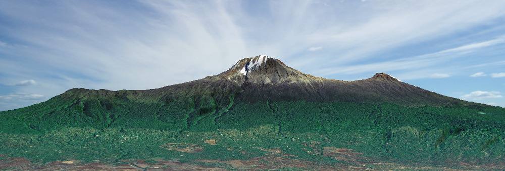
Kilimanjaro peaks left to right:
Shira – Kibo – Mawenzi
Routes to Freedom (Uhuru)
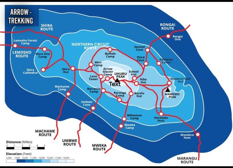
Marangu 6 days: The only Kilimanjaro route to offer hut accommodation. It ascends the eastern slope. It is called Coca Cola Route
General Information:
- Duration: Typically 5 to 6 days
- Difficulty: Moderate, but it requires good physical condition and acclimatization.
- Length: Approximately 72 kilometers (round trip)
- Accommodation: Huts (Mandara, Horombo, and Kibo Huts) instead of tents
Route Details:
Day 1: Marangu Gate (1,860 m) to Mandara Hut (2,720 m)
- Distance: 8 km
- Duration: 3-4 hours
- Description: The ascent begins at Marangu Gate after registration. The hike leads through lush rainforest with a variety of plant and animal species, including Colobus monkeys. Mandara Hut offers basic accommodations.
Day 2: Mandara Hut to Horombo Hut (3,720 m)
- Distance: 12 km
- Duration: 5-6 hours
- Description: The path continues through the rainforest and then through the heath and moorland. The view of the Mawenzi Peak is impressive. Horombo Hut provides stunning views of the Kibo Peak.
Day 3: Acclimatization Day at Horombo Hut
- Distance: 10 km
- Duration: 3-5 hours (acclimatization hike)
- Description: A day for acclimatization, with hikes to nearby places such as Mawenzi.
Day 4: Horombo Hut to Kibo Hut (4,700 m)
- Distance: 10 km
- Duration: 6-8 hours
- Description: The landscape becomes increasingly barren and rocky as the route passes through alpine desert. Kibo Hut is located at the base of Kibo Peak and offers lodging to prepare for the summit ascent.
Day 5: Kibo Hut to Uhuru Peak (5,895 m), then descent to Horombo Hut
- Distance: 18 km (6 km ascent, 12 km descent)
- Duration: 10-15 hours
- Description: The ascent to Uhuru Peak begins at midnight. The path leads via Gilman’s Point (5,681 m) and Stella Point (5,739 m) to the highest point in Africa, Uhuru Peak. After a short stay at the summit, the descent back to Horombo Hut follows.
Day 6: Horombo Hut to Marangu Gate
- Distance: 20 km
- Duration: 5-7 hours
- Description: The final descent leads back through the heath and moorland and then through the rainforest to Marangu Gate. The hike ends here, and participants receive their summit certificates.
Special Notes:
- Acclimatization: The route is notorious for its high failure rate due to rapid altitude gain. An additional acclimatization day at Horombo Hut is recommended.
- Huts: The Marangu Route is the only route on Kilimanjaro that offers hut accommodations, making it popular with hikers who prefer not to camp.
- Scenery: The route offers a variety of landscapes, from rainforest to heath and moorland to alpine desert and snow at the summit.
The Marangu Route is ideal for hikers seeking a relatively comfortable and well-structured route while still experiencing the challenges and breathtaking beauty of Mount Kilimanjaro.
| Day | Start | Altitude m | Finish | Altitude m | Time hrs | Distance km |
| 1 | Marangu Gate | 1843 | Mandara Hut | 2700 | 4-5 | 8 |
| 2 | Mandara Hut | 2700 | Horombo Hut | 3720 | 6-8 | 12 |
| 3 | Horombo Hut Mawenzi | 3720 4315 | Mawenzi Horombo Hut | 4315 3720 | 2-3 1-2 | 5 5 |
| 4 | Horombo Hut | 3720 | Kibo Hut | 4703 | 6-8 | 10 |
| 5 | Kibo Hut Uhuru Peak | 4703 5895 | Uhuru Peak Horombo Hut | 5895 3720 | 6-8 4-7 | 6 12 |
| 6 | Horombo Hut | 3720 | Marangu Gate | 1843 | 5-7 | 20 |
| 34 -48 | 83 km |
Machame 6 days: The most popular Kilimanjaro route. It goes up the southern slope. Also called Whiskey Route
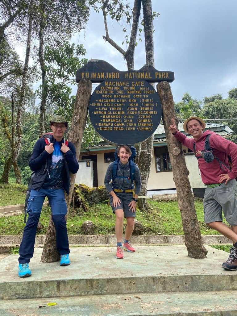
The Machame Route, often referred to as the „Whiskey Route,“ is known for its scenic beauty and its challenging terrain. It is one of the most popular routes to reach the summit of Mount Kilimanjaro, offering diverse landscapes and excellent acclimatization opportunities.
General Information:
- Duration: Typically 6 to 7 days
- Difficulty: Challenging, suitable for physically fit hikers
- Length: Approximately 62 kilometers (round trip)
- Accommodation: Camping
Route Details:
Day 1: Machame Gate (1,800 m) to Machame Camp (2,835 m)
- Distance: 11 km
- Duration: 5-7 hours
- Description: The hike begins at Machame Gate after registration. The trail leads through dense rainforest with a variety of flora and fauna. Machame Camp is located in a clearing in the forest.
Day 2: Machame Camp to Shira Camp (3,750 m)
- Distance: 5 km
- Duration: 4-6 hours
- Description: The trail continues through the forest, transitioning into heath and moorland. This day’s trek is shorter but steeper, offering stunning views of the Shira Plateau.
Day 3: Shira Camp to Lava Tower (4,630 m) to Barranco Camp (3,976 m)
- Distance: 10 km
- Duration: 6-8 hours
- Description: This day is crucial for acclimatization. The trail ascends to Lava Tower, a volcanic rock formation. After spending some time at Lava Tower, the trail descends to Barranco Camp, which lies in a valley below the Breach Wall.
Day 4: Barranco Camp to Karanga Camp (3,995 m)
- Distance: 5 km
- Duration: 4-5 hours
- Description: The day begins with the challenging Barranco Wall, a steep rock face that requires some scrambling. After the wall, the trail undulates through a series of hills and valleys before reaching Karanga Camp.
Day 5: Karanga Camp to Barafu Camp (4,673 m)
- Distance: 4 km
- Duration: 4-5 hours
- Description: The trail ascends steadily, crossing the alpine desert and approaching Barafu Camp, the base camp for the summit attempt. Hikers rest here and prepare for the night-time summit push.
Day 6: Barafu Camp to Uhuru Peak (5,895 m), then descent to Mweka Camp (3,110 m)
- Distance: 17 km (5 km ascent, 12 km descent)
- Duration: 10-14 hours
- Description: The summit attempt starts around midnight. The trail climbs steeply to Stella Point (5,739 m) on the crater rim, then continues to Uhuru Peak, the highest point in Africa. After a brief time at the summit, the descent back to Barafu Camp and then to Mweka Camp follows.
Day 7: Mweka Camp to Mweka Gate (1,640 m)
- Distance: 10 km
- Duration: 3-4 hours
- Description: The final descent through the rainforest leads to Mweka Gate, where climbers sign out and receive their summit certificates. The hike ends with a celebration and transport back to the hotel.
Special Notes:
- Acclimatization: The Machame Route provides excellent acclimatization with its „climb high, sleep low“ profile. The extra day for acclimatization is highly recommended.
- Scenery: The route is renowned for its varied and spectacular scenery, from lush rainforest to moorland, alpine desert, and the snow-capped summit.
- Camping: Unlike the Marangu Route, the Machame Route requires camping. Climbers stay in tents at designated campsites.
The Machame Route is ideal for adventurous hikers looking for a challenging trek with stunning views and a high success rate for reaching the summit of Mount Kilimanjaro.
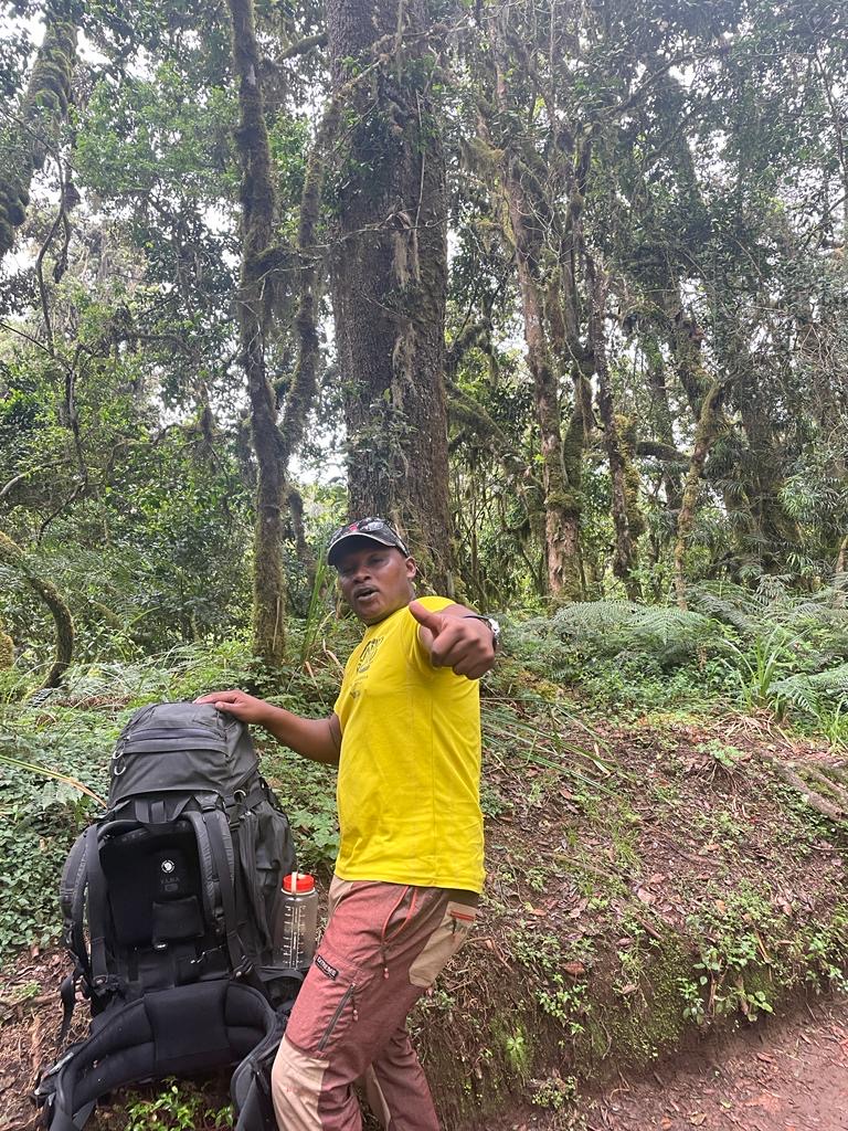
Lemosho 8 days: The most beautiful Kilimanjaro route, and very popular. Very good acclimatization. It leads up the western slope
General Information:
- Duration: Typically 7 to 8 days
- Difficulty: Moderate to challenging, suitable for physically fit hikers
- Length: Approximately 70 kilometers (round trip)
- Accommodation: Camping
Route Details:
Day 1: Londorossi Gate (2,100 m) to Mti Mkubwa (2,820 m)
- Distance: 7 km
- Duration: 3-4 hours
- Description: After registration at Londorossi Gate, a drive to the starting point of the trek follows. The trail begins through lush rainforest, rich in flora and fauna, leading to Mti Mkubwa Camp (Big Tree Camp).
Day 2: Mti Mkubwa to Shira 1 Camp (3,500 m)
- Distance: 8 km
- Duration: 5-6 hours
- Description: The path continues through the forest, eventually emerging onto the Shira Plateau. The vegetation becomes sparser as the trail ascends, offering panoramic views of the plateau and Mount Meru in the distance.
Day 3: Shira 1 Camp to Shira 2 Camp (3,850 m)
- Distance: 7 km
- Duration: 3-4 hours
- Description: This day is relatively short, allowing hikers to acclimatize. The trail crosses the Shira Plateau, passing through moorland and heather zones, and arriving at Shira 2 Camp.
Day 4: Shira 2 Camp to Lava Tower (4,630 m) to Barranco Camp (3,976 m)
- Distance: 10 km
- Duration: 6-8 hours
- Description: The trek ascends to Lava Tower, a volcanic rock formation, for acclimatization. After spending some time at Lava Tower, the trail descends to Barranco Camp, nestled in a valley below the Breach Wall.
Day 5: Barranco Camp to Karanga Camp (3,995 m)
- Distance: 5 km
- Duration: 4-5 hours
- Description: The day begins with the challenging Barranco Wall, a steep climb requiring some scrambling. After surmounting the wall, the trail undulates through several valleys before reaching Karanga Camp.
Day 6: Karanga Camp to Barafu Camp (4,673 m)
- Distance: 4 km
- Duration: 4-5 hours
- Description: The trail ascends steadily, crossing the alpine desert and approaching Barafu Camp. Climbers rest here and prepare for the night-time summit attempt.
Day 7: Barafu Camp to Uhuru Peak (5,895 m), then descent to Mweka Camp (3,110 m)
- Distance: 17 km (5 km ascent, 12 km descent)
- Duration: 10-14 hours
- Description: The summit attempt starts around midnight. The trail climbs steeply to Stella Point (5,739 m) on the crater rim, then continues to Uhuru Peak, the highest point in Africa. After a brief stay at the summit, the descent back to Barafu Camp and then to Mweka Camp follows.
Day 8: Mweka Camp to Mweka Gate (1,640 m)
- Distance: 10 km
- Duration: 3-4 hours
- Description: The final descent leads through the rainforest to Mweka Gate, where climbers sign out and receive their summit certificates. The hike ends with a celebration and transport back to the hotel.
Special Notes:
- Acclimatization: The Lemosho Route offers excellent acclimatization opportunities with its longer duration and varied terrain, which helps to increase the success rate for reaching the summit.
- Scenery: The route is renowned for its breathtaking scenery, from lush rainforest to the Shira Plateau, and from the dramatic Barranco Wall to the alpine desert and snow-capped summit.
- Camping: The route requires camping, with climbers staying in tents at designated campsites.
The Lemosho Route is ideal for hikers seeking a quieter, more scenic, and well-paced ascent of Mount Kilimanjaro, with excellent acclimatization and a high success rate for reaching the summit.
Umbwe 5-7 days: The shortest, steepest and hardest Kilimanjaro route. It brings you up the southern slope.
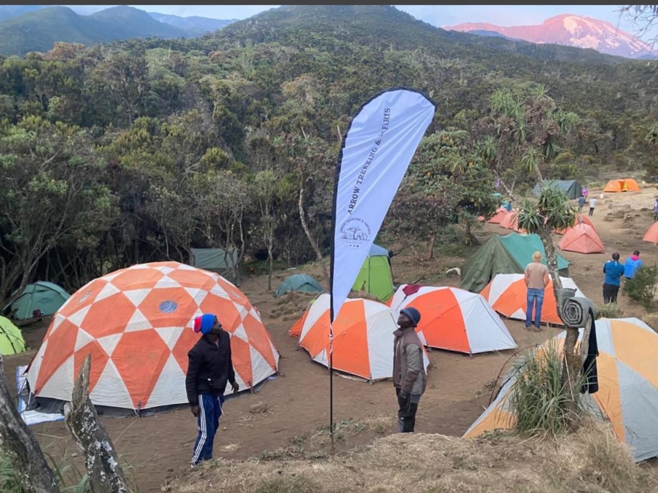
The Umbwe Route is known for being the shortest and steepest route to the summit of Mount Kilimanjaro. It is less frequented due to its challenging nature, making it suitable for experienced hikers who are looking for a more direct and less crowded path.
General Information:
- Duration: Typically 5 to 7 days
- Difficulty: Very challenging, suitable for experienced and physically fit hikers
- Length: Approximately 53 kilometers (round trip)
- Accommodation: Camping
Route Details:
Day 1: Umbwe Gate (1,640 m) to Umbwe Cave Camp (2,850 m)
- Distance: 11 km
- Duration: 5-7 hours
- Description: The trek begins at the Umbwe Gate after registration. The trail ascends steeply through dense rainforest, with a challenging and continuous climb. Umbwe Cave Camp is situated in a sheltered clearing.
Day 2: Umbwe Cave Camp to Barranco Camp (3,976 m)
- Distance: 6 km
- Duration: 4-5 hours
- Description: The path continues to climb steeply, leaving the rainforest and entering the moorland zone. The trail offers stunning views of the Western Breach and the Barranco Valley. Barranco Camp lies in a valley below the Breach Wall.
Day 3: Barranco Camp to Karanga Camp (3,995 m)
- Distance: 5 km
- Duration: 4-5 hours
- Description: The day begins with the challenging ascent of the Barranco Wall, a steep climb that involves some scrambling. After the wall, the trail continues through a series of ridges and valleys, leading to Karanga Camp.
Day 4: Karanga Camp to Barafu Camp (4,673 m)
- Distance: 4 km
- Duration: 4-5 hours
- Description: The trail ascends steadily through alpine desert terrain, reaching Barafu Camp. This camp serves as the base for the summit attempt, and climbers rest here to prepare for the night-time ascent.
Day 5: Barafu Camp to Uhuru Peak (5,895 m), then descent to Mweka Camp (3,110 m)
- Distance: 17 km (5 km ascent, 12 km descent)
- Duration: 10-14 hours
- Description: The summit attempt begins around midnight. The trail climbs steeply to Stella Point (5,739 m) on the crater rim, then continues to Uhuru Peak, the highest point in Africa. After a brief stay at the summit, the descent back to Barafu Camp and then to Mweka Camp follows.
Day 6: Mweka Camp to Mweka Gate (1,640 m)
- Distance: 10 km
- Duration: 3-4 hours
- Description: The final descent leads through the rainforest to Mweka Gate, where climbers sign out and receive their summit certificates. The hike concludes with a celebration and transport back to the hotel.
Special Notes:
- Acclimatization: The Umbwe Route is steep and direct, offering less opportunity for acclimatization compared to other routes. This makes it more challenging and increases the risk of altitude sickness.
- Scenery: The route offers dramatic and varied scenery, including lush rainforest, moorland, and stunning views of the Western Breach and Barranco Valley.
- Camping: The route requires camping, with climbers staying in tents at designated campsites.
The Umbwe Route is ideal for experienced hikers seeking a challenging and direct path to the summit of Mount Kilimanjaro, with fewer crowds and breathtaking scenery. However, due to its steepness and rapid ascent, it requires excellent physical fitness and acclimatization awareness.
Western Breech 7- 8 days : This route is known for its challenging and technical ascent.
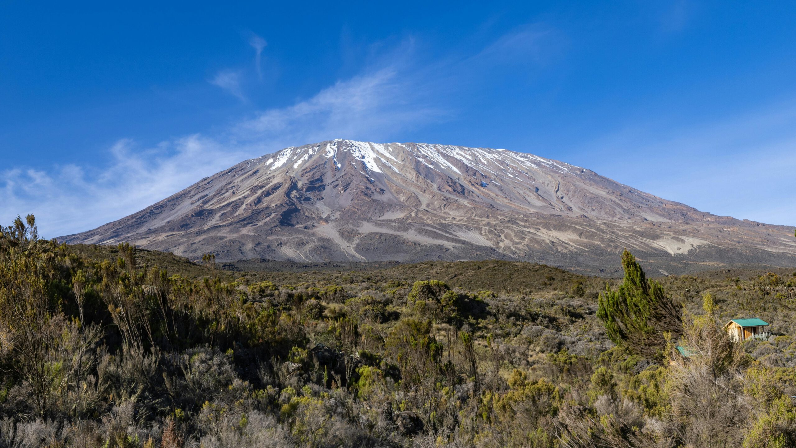
Arrow Glacier Route / Western Breech on Mount Kilimanjaro
The Arrow Glacier Route, often referred to as the Western Breach Route, is one of the most challenging and adventurous routes to the summit of Mount Kilimanjaro. Known for its steep ascent and rocky terrain, this route is recommended for experienced climbers looking for a less crowded and more technical climb.
General Information:
- Duration: Typically 7 to 8 days
- Difficulty: Very challenging, suitable for experienced and physically fit hikers
- Length: Approximately 62 kilometers (round trip)
- Accommodation: Camping
Route Details:
Day 1: Londorossi Gate (2,100 m) to Mti Mkubwa (2,820 m)
- Distance: 7 km
- Duration: 3-4 hours
- Description: After registration at Londorossi Gate, the trail begins through lush rainforest, offering a rich variety of flora and fauna. The first night is spent at Mti Mkubwa Camp (Big Tree Camp).
Day 2: Mti Mkubwa to Shira 1 Camp (3,505 m)
- Distance: 8 km
- Duration: 5-6 hours
- Description: The trail continues through the forest, transitioning to heather and moorland as it climbs up to the Shira Plateau. Shira 1 Camp provides panoramic views of the plateau and Mount Meru in the distance.
Day 3: Shira 1 Camp to Shira 2 Camp (3,850 m)
- Distance: 7 km
- Duration: 3-4 hours
- Description: A shorter day that allows for acclimatization, the route crosses the Shira Plateau, passing through moorland and heather zones before reaching Shira 2 Camp.
Day 4: Shira 2 Camp to Lava Tower (4,630 m) to Arrow Glacier Camp (4,800 m)
- Distance: 10 km
- Duration: 7-8 hours
- Description: The trail ascends to the Lava Tower for acclimatization, a significant altitude gain. After spending time at Lava Tower, the route continues to the Arrow Glacier Camp, which serves as the base for the Western Breach ascent.
Day 5: Arrow Glacier Camp to Crater Camp (5,790 m)
- Distance: 5 km
- Duration: 6-8 hours
- Description: This day involves the challenging ascent of the Western Breach, a steep and rocky climb that requires some scrambling. The trail leads to the Crater Camp, located near the summit crater, offering a unique high-altitude camping experience.
Day 6: Crater Camp to Uhuru Peak (5,895 m), then descent to Mweka Camp (3,110 m)
- Distance: 17 km (5 km ascent, 12 km descent)
- Duration: 10-14 hours
- Description: The final ascent to Uhuru Peak begins from Crater Camp, with a short but steep climb to the summit. After reaching Uhuru Peak, the highest point in Africa, the descent follows back through Barafu Camp and down to Mweka Camp.
Day 7: Mweka Camp to Mweka Gate (1,640 m)
- Distance: 10 km
- Duration: 3-4 hours
- Description: The final descent through the rainforest leads to Mweka Gate, where climbers sign out and receive their summit certificates. The hike concludes with a celebration and transport back to the hotel.
Special Notes:
- Acclimatization: The Arrow Glacier Route offers excellent acclimatization due to its longer duration and varied elevation gains. However, the rapid ascent of the Western Breach can be challenging.
- Scenery: This route provides some of the most dramatic and varied scenery on Kilimanjaro, including the Shira Plateau, the Western Breach, and the summit crater.
- Technical Difficulty: The Western Breach ascent is more technical and requires some scrambling. It is recommended for experienced hikers comfortable with high-altitude climbing and exposure.
- Camping: The route requires camping, with climbers staying in tents at designated campsites.
The Arrow Glacier Route is ideal for experienced hikers seeking a challenging and adventurous climb with fewer crowds and spectacular scenery. Due to its technical nature, proper preparation and acclimatization are essential for a successful summit.
Northern Circuit 9-10 days: The newest and longest Kilimanjaro route. It starts on the west, but then circles the north of the mountain.
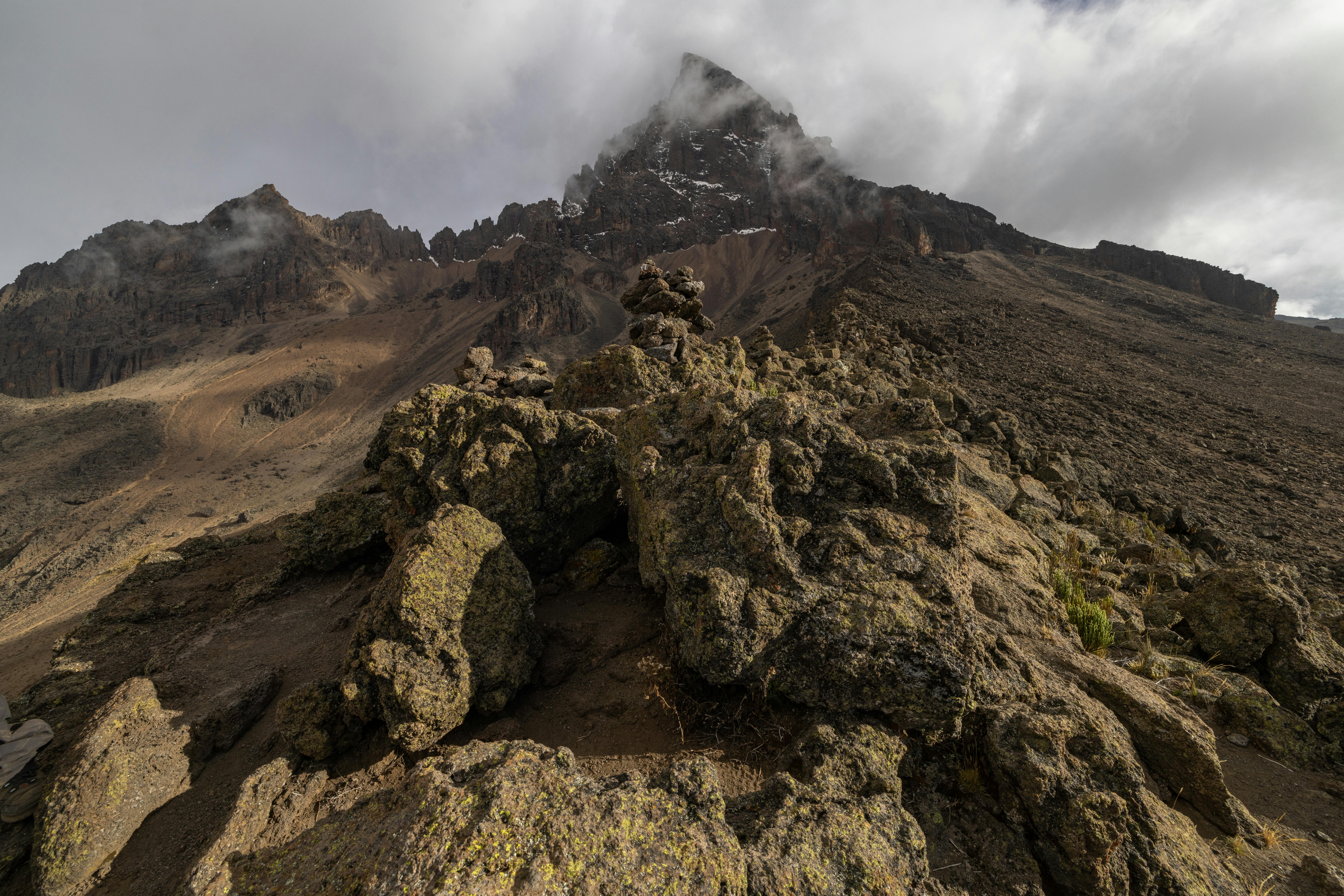
Northern Circuit Route on Mount Kilimanjaro
The Northern Circuit Route is one of the newest and longest routes to the summit of Mount Kilimanjaro. It offers a 360-degree trek around the mountain, providing exceptional acclimatization opportunities and stunning, varied scenery. This route is less crowded and offers a more remote and tranquil experience compared to other routes.
General Information:
- Duration: Typically 9 to 10 days
- Difficulty: Moderate to challenging, suitable for physically fit hikers
- Length: Approximately 90 kilometers (round trip)
- Accommodation: Camping
Route Details:
Day 1: Londorossi Gate (2,100 m) to Mti Mkubwa (2,820 m)
- Distance: 7 km
- Duration: 3-4 hours
- Description: After registration at Londorossi Gate, the trail begins through lush rainforest, leading to Mti Mkubwa Camp (Big Tree Camp). The first day is relatively short, allowing for a gentle introduction to the climb.
Day 2: Mti Mkubwa to Shira 1 Camp (3,505 m)
- Distance: 8 km
- Duration: 5-6 hours
- Description: The trail ascends through the forest, transitioning to moorland as it approaches the Shira Plateau. Shira 1 Camp offers stunning views of the plateau and Mount Meru in the distance.
Day 3: Shira 1 Camp to Shira 2 Camp (3,850 m)
- Distance: 7 km
- Duration: 3-4 hours
- Description: A shorter day to aid acclimatization, the route crosses the Shira Plateau, passing through heather and moorland zones before reaching Shira 2 Camp.
Day 4: Shira 2 Camp to Lava Tower (4,630 m) to Moir Hut (4,206 m)
- Distance: 14 km
- Duration: 7-8 hours
- Description: The trail ascends to Lava Tower, a significant altitude gain for acclimatization, before descending to Moir Hut. This camp is situated in a scenic valley, providing excellent acclimatization opportunities.
Day 5: Moir Hut to Buffalo Camp (4,020 m)
- Distance: 12 km
- Duration: 5-7 hours
- Description: The route follows a path less traveled around the northern slopes of Kilimanjaro. The trail passes through remote landscapes with expansive views, leading to Buffalo Camp.
Day 6: Buffalo Camp to Third Cave (3,870 m)
- Distance: 8 km
- Duration: 4-6 hours
- Description: The trek continues across the northern circuit, with a steady climb and scenic vistas. Third Cave Camp provides a peaceful setting with fewer climbers.
Day 7: Third Cave to School Hut (4,800 m)
- Distance: 5 km
- Duration: 4-5 hours
- Description: The trail ascends steadily to School Hut, situated closer to the summit. This camp serves as the base for the summit attempt, allowing for rest and preparation.
Day 8: School Hut to Uhuru Peak (5,895 m), then descent to Mweka Camp (3,110 m)
- Distance: 15 km (6 km ascent, 9 km descent)
- Duration: 10-14 hours
- Description: The summit attempt begins around midnight, with a steep climb to Uhuru Peak, the highest point in Africa. After reaching the summit, the descent follows back to Barafu Camp and continues down to Mweka Camp.
Day 9: Mweka Camp to Mweka Gate (1,640 m)
- Distance: 10 km
- Duration: 3-4 hours
- Description: The final descent through the rainforest leads to Mweka Gate, where climbers sign out and receive their summit certificates. The hike concludes with a celebration and transport back to the hotel.
Special Notes:
- Acclimatization: The Northern Circuit Route offers excellent acclimatization due to its longer duration and gradual ascent profile. This significantly increases the chances of a successful summit.
- Scenery: This route provides some of the most varied and spectacular scenery on Kilimanjaro, including views of the northern slopes, the Shira Plateau, and expansive vistas across the Kenyan plains.
- Camping: The route requires camping, with climbers staying in tents at designated campsites.
- Isolation: The Northern Circuit is one of the least crowded routes, providing a more remote and tranquil trekking experience.
The Northern Circuit Route is ideal for hikers seeking a longer, more gradual ascent with excellent acclimatization and stunning scenery. Its isolation and variety make it a rewarding choice for those prepared for its challenges.
Rongai Route 6-7 days: The only route that approaches the summit from the north. Good in bad weather conditions, e.g. Rain Season
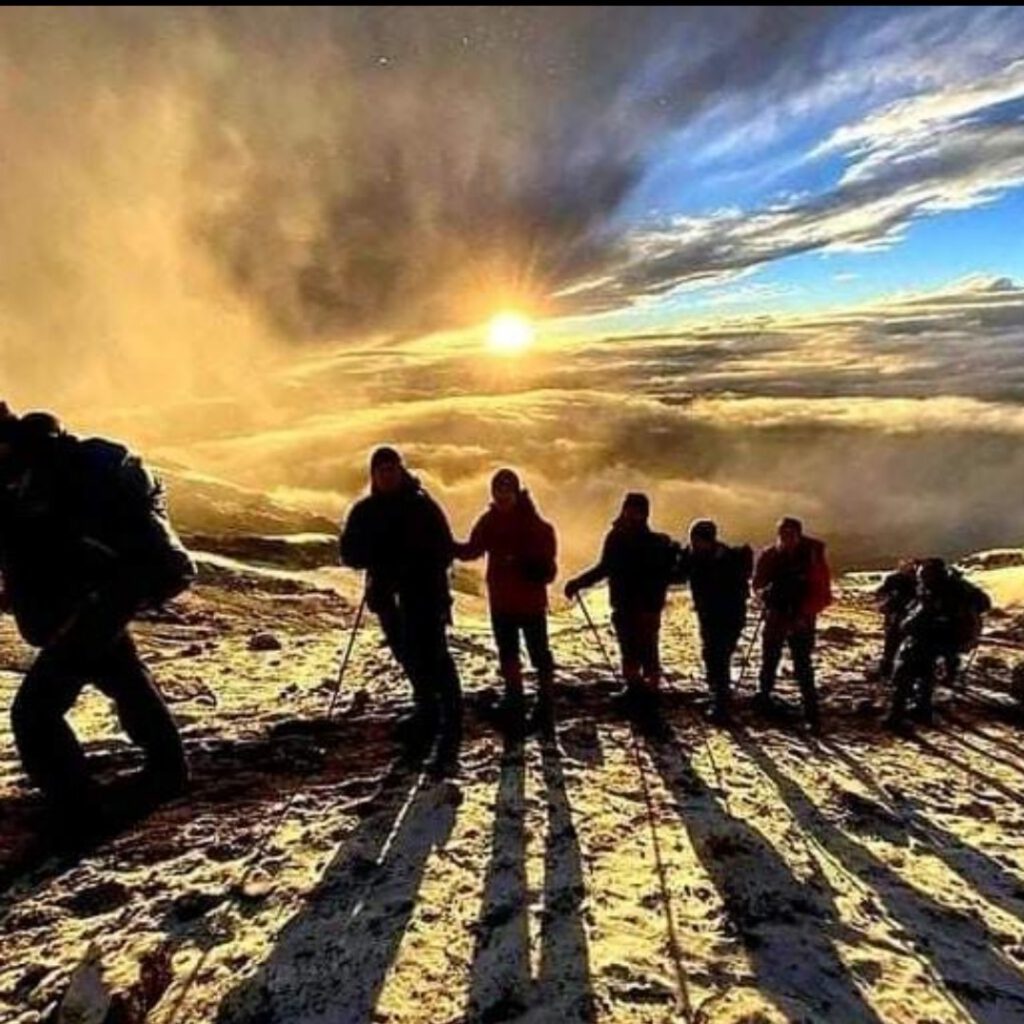
Rongai Route
The Rongai Route is the only route that approaches Mount Kilimanjaro from the north, near the Kenyan border. It is known for its relatively gentle gradient and remote, unspoiled wilderness. The route offers a different perspective of Kilimanjaro compared to the more popular southern routes and is generally less crowded.
General Information:
- Duration: Typically 6 to 7 days
- Difficulty: Moderate, suitable for physically fit hikers
- Length: Approximately 72 kilometers (round trip)
- Accommodation: Camping
Route Details:
Day 1: Rongai Gate (1,950 m) to Simba Camp (2,625 m)
- Distance: 8 km
- Duration: 3-4 hours
- Description: After registration at the Rongai Gate, the trek begins through farmland and pine forest. The trail offers a gentle ascent, leading to Simba Camp, located on the edge of the moorland zone.
Day 2: Simba Camp to Second Cave Camp (3,450 m)
- Distance: 8 km
- Duration: 3-4 hours
- Description: The path continues through heather and moorland, with a steady ascent to Second Cave Camp. This campsite offers expansive views of Kibo and the Eastern Icefields.
Day 3: Second Cave Camp to Kikelewa Camp (3,600 m)
- Distance: 9 km
- Duration: 5-6 hours
- Description: The trail gradually ascends, passing through moorland and open landscape. The route then approaches Kikelewa Camp, which is set in a sheltered valley near the Kikelewa Caves.
Day 4: Kikelewa Camp to Mawenzi Tarn Camp (4,330 m)
- Distance: 7 km
- Duration: 5-6 hours
- Description: The trek becomes steeper as it climbs towards the jagged peaks of Mawenzi. The trail offers stunning views and diverse alpine desert terrain, leading to Mawenzi Tarn Camp, situated beneath the towering spires of Mawenzi.
Day 5: Mawenzi Tarn Camp to Kibo Hut (4,695 m)
- Distance: 8 km
- Duration: 5-6 hours
- Description: The route crosses the lunar-like landscape of the saddle between Mawenzi and Kibo. The terrain is barren and windswept, providing a stark contrast to the lush rainforest at the start of the trek. Kibo Hut serves as the base camp for the summit attempt.
Day 6: Kibo Hut to Uhuru Peak (5,895 m), then descent to Horombo Hut (3,720 m)
- Distance: 21 km (6 km ascent, 15 km descent)
- Duration: 10-15 hours
- Description: The summit attempt begins around midnight, with a steep climb to Gilman’s Point (5,685 m) on the crater rim, then continuing along the rim to Uhuru Peak, the highest point in Africa. After reaching the summit, the descent follows back to Kibo Hut and continues down to Horombo Hut.
Day 7: Horombo Hut to Marangu Gate (1,870 m)
- Distance: 20 km
- Duration: 5-7 hours
- Description: The final descent passes through the moorland and rainforest zones, leading to Marangu Gate. Climbers sign out and receive their summit certificates, concluding the trek with a celebration and transport back to the hotel.
Special Notes:
- Acclimatization: The Rongai Route offers a slower, more gradual ascent, providing good acclimatization opportunities. However, it lacks the „climb high, sleep low“ profile compared to other routes.
- Scenery: This route provides a variety of landscapes, including farmland, pine forests, moorland, alpine desert, and lush rainforest on the descent. The north side of the mountain is drier and less trafficked, offering a more remote experience.
- Camping: The route requires camping, with climbers staying in tents at designated campsites.
- Weather: The north side of Kilimanjaro generally experiences less rainfall, making it a good option during the rainy seasons.
The Rongai Route is ideal for hikers looking for a quieter, less crowded path with diverse scenery and a more gradual ascent. It offers a unique perspective of Mount Kilimanjaro and is suitable for those seeking a moderate challenge.
Shira Route 7-8 days: Shira Route is one of the routes to climb Mount Kilimanjaro in Tanzania, offering a less crowded and more scenic alternative
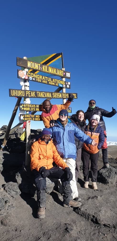
Starting Point
- Londorossi Gate: The journey begins at Londorossi Gate (2,360 meters / 7,742 feet), where climbers register and meet their guides and porters. The trailhead is reached by a drive through the lush rainforest, which can be an adventure in itself.
Day 1: Londorossi Gate to Mti Mkubwa Camp
- Elevation: 2,360 meters (7,742 feet) to 2,895 meters (9,498 feet)
- Distance: 6 kilometers (4 miles)
- Habitat: Rainforest
- Description: The hike starts in the montane forest, where you might spot some wildlife like monkeys and various bird species. The path is relatively gentle, leading to the Mti Mkubwa (Big Tree) Camp.
Day 2: Mti Mkubwa Camp to Shira 1 Camp
- Elevation: 2,895 meters (9,498 feet) to 3,505 meters (11,500 feet)
- Distance: 8 kilometers (5 miles)
- Habitat: Moorland
- Description: The trail continues through the forest before transitioning to moorland. Climbers enjoy panoramic views of the plateau and the western breach of Kibo Peak.
Day 3: Shira 1 Camp to Shira 2 Camp or Moir Hut
- Elevation: 3,505 meters (11,500 feet) to 3,845 meters (12,615 feet) or 4,200 meters (13,780 feet)
- Distance: 7 kilometers (4.3 miles) to Shira 2 or 14 kilometers (8.7 miles) to Moir Hut
- Habitat: Moorland and semi-desert
- Description: This day involves a gentle trek across the Shira Plateau, a high-altitude desert. Climbers can either head to Shira 2 Camp or Moir Hut, the latter being a longer and more rewarding hike with additional acclimatization.
Day 4: Shira 2 Camp/Moir Hut to Lava Tower to Barranco Camp
- Elevation: 3,845 meters (12,615 feet) to 4,630 meters (15,190 feet) to 3,960 meters (12,992 feet)
- Distance: 10 kilometers (6.2 miles)
- Habitat: Semi-desert and alpine desert
- Description: The route ascends to Lava Tower for acclimatization, offering dramatic views. After reaching Lava Tower, the trail descends to the Barranco Camp, located in a valley below the Western Breach.
Day 5: Barranco Camp to Karanga Camp
- Elevation: 3,960 meters (12,992 feet) to 4,035 meters (13,238 feet)
- Distance: 5 kilometers (3.1 miles)
- Habitat: Alpine desert
- Description: This day includes the challenging Barranco Wall, a steep climb that requires some scrambling. After the wall, the trail descends into the Karanga Valley before reaching Karanga Camp.
Day 6: Karanga Camp to Barafu Camp
- Elevation: 4,035 meters (13,238 feet) to 4,640 meters (15,223 feet)
- Distance: 4 kilometers (2.5 miles)
- Habitat: Alpine desert
- Description: The trail to Barafu Camp is a gradual ascent across desolate alpine desert. Climbers rest at Barafu Camp in preparation for the final summit push.
Day 7: Barafu Camp to Uhuru Peak to Mweka Camp
- Elevation: 4,640 meters (15,223 feet) to 5,895 meters (19,341 feet) and down to 3,100 meters (10,170 feet)
- Distance: 19 kilometers (11.8 miles)
- Habitat: Arctic to alpine desert to montane forest
- Description: The summit attempt begins around midnight, with climbers ascending the steep slopes to Stella Point and then to Uhuru Peak, the highest point in Africa. After celebrating the summit, climbers descend rapidly to Mweka Camp for a well-deserved rest.
Day 8: Mweka Camp to Mweka Gate
- Elevation: 3,100 meters (10,170 feet) to 1,640 meters (5,380 feet)
- Distance: 10 kilometers (6.2 miles)
- Habitat: Montane forest
- Description: The final descent is through the lush rainforest to Mweka Gate, where climbers sign out and receive certificates. The journey concludes with a transfer back to Moshi or Arusha.
Key Features
- Scenery: The Shira Route offers diverse landscapes, from rainforest and moorland to alpine desert and glaciers.
- Wildlife: Potential sightings of monkeys, birds, and other forest animals.
- Acclimatization: Good opportunities for acclimatization due to gradual ascent and additional days.
Tips
- Physical Preparation: Adequate training and fitness are essential due to the route’s length and altitude.
- Gear: Proper gear for varying climates, including warm clothing, sturdy boots, and rain protection.
- Guides: Experienced guides and porters are crucial for a safe and successful climb.
Shira Route provides a memorable and less crowded path to the summit of Mount Kilimanjaro, with stunning views and a rich variety of ecosystems to explore.
Arrow – Trekking Route 7-9 days: Off the beaten track. Only smaller groups. Passing the fields of former Arrows glacier up to spectacular northern icefields, inner crater, uhuru peak. Possible Crater camp (night in the crater)
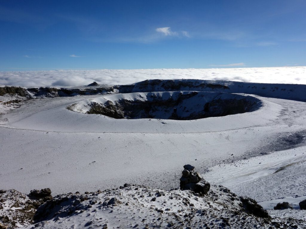
This follows the Western Breach Arrow Glacier ascent.
We are crossing the outer crater wall and are standing on the floor of the crater itself with the beautiful inner crater the Northern Icefields with spectacular glaciers, and the Furtwangler Glacier will also be visited.
There is an option to set up a Crater Camp and spend a spectacular night on the roof of Africa.
The descent follows the Uhuru Peak and then the descent route via Mweka Camp to Mweka Gate.
We can also create very individual variations with you.
Included in Package
Excluded from Package
- Trekking according to itinerary
- Professional, English speaking Wilderness Guide
- First Responder – CPR certified Guide
- Emergency oxygene cylinder
- Proper ratio of Mountain Crew (Cook, Proters, Guides)
- Pre and Post accomodation (2 nights B&B)
- Airport Transfer
- Transfer Hotel – Gate – Hotel
- Dringking water, Fullboard meals on the mountain
- Tents, chairs, tables, dishes
- Fair Salary for Guides and Cooks
- Travel costs, Visa
- Insurances
- Gamow Bag
- Medication
- Tips for portes and mountain Crew (20% Insdustry Standard Recommended
- Energy food, alcoholic and soft drinks
- Trekking poles sleeping bag etc. (can be hired with us)
- additional lodge nights if early descent from mountain 150$ per room
CERTIFIED ETHICAL CLIMBING:
We believe the tourism industry has an obligation and a great opportunity to protect the world’s natural habitats, cultural heritage sites, and communities. We actively promote environmental sustainability and social responsibility.
As a Partner for Responsible Travel, we are proud members and active supporters of the
The Kilimanjaro Porters Assistance Project, (KPAP) an initiative of the International Mountain Explorers Connection, (IMEC). KPAP raises public awareness regarding the proper treatment of porters on Kilimanjaro and assists climbing companies with implementing procedures that ensure fair and ethical treatment of their porters.
Every climb is audited to ensure crewmembers are provided proper salaries, tips, food, equipment and sleeping conditions. We think it’s pretty great and our clients do as well, check out our Tripadvisor profile to see what people are saying about us.